
Jammu & Kashmir in India map in Tableau
Hello friends!! We’ll be learning how to show Jammu & Kashmir (J&K) in India map in Tableau. This is super quick way to show Jammu & Kashmir in India map.
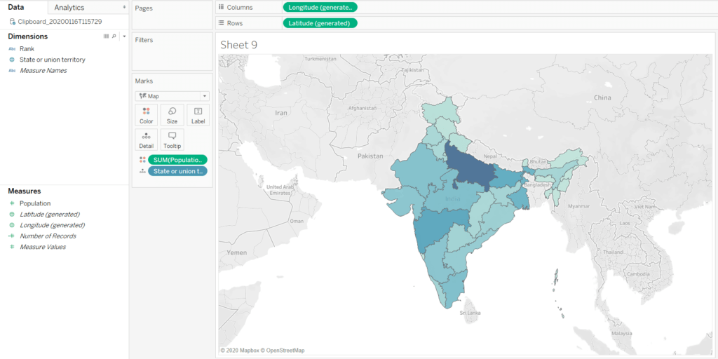
Currently I’ve plotted the population map in of Indian states as shown below. As you can see in the image J&K is not proper in the India map in Tableau. The map is not correct since the area shown different in different maps. We’ll see how to show complete and proper J&K map in Tableau.
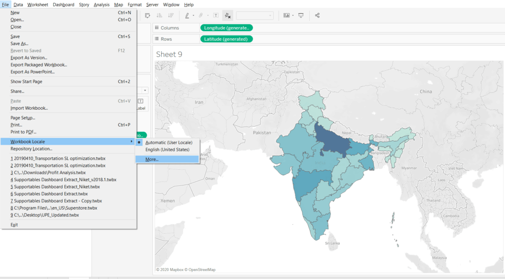
Go to File > Workbook Locale > More as shown in the image below.
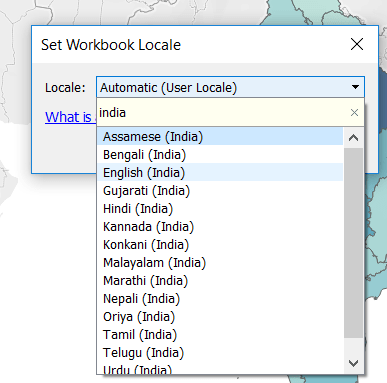
Selection workbook window will open as shown below. Select English(India) from the list.
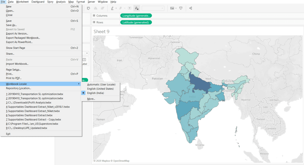
and that’s done. The J&K is proper now in the Tableau map.
Keep visiting Analytics Tuts for more tutorials.
Thanks for reading! Comment your suggestions and queries
Hi
I tried the steps you mentioned. After changing workbook locale to India, i cannot find India in the list of countries. So it shows Unknown for all indian states.
Even after changing the workbook to English(India) the map remained the same. I tried other Languages as well, no change. Is there any other way to complete it?
Do you have data for that?
The above solution didn’t work for me either, try adding Ladakh to the list of States (Data Source), the missing area gets filled up on the map.